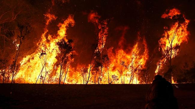
There is so much hype from the media and political groups looking to gain an edge lately, that wrongly tries to connect the recent New South Wales (NSW) bush fires with the so called made made warming of our planet.
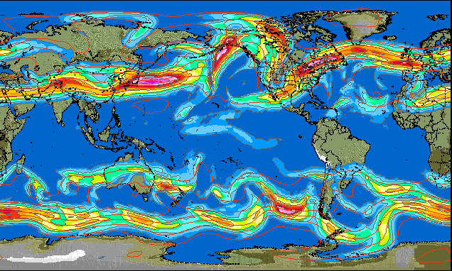
Will Steffen and others are trying to link the warmer NSW temperatures and high winds this year with man made global warming, but this is just opportunism and not looking at the back ground reasons of how the weather patterns have been changing worldwide. There are some scientists that are after the facts instead of feeding an agenda, these noble intellects are finding that the jet stream is shifting in both hemispheres which has accompanying low pressure cells that are influencing our extreme weather events. The same phenomenon that encourages bushfires in Australia is responsible for the massive winter events taking place in the Northern Hemisphere over the past 4 years, we can expect another 30 years of this occurrence if the Sun remains in a quiet period as predicted.
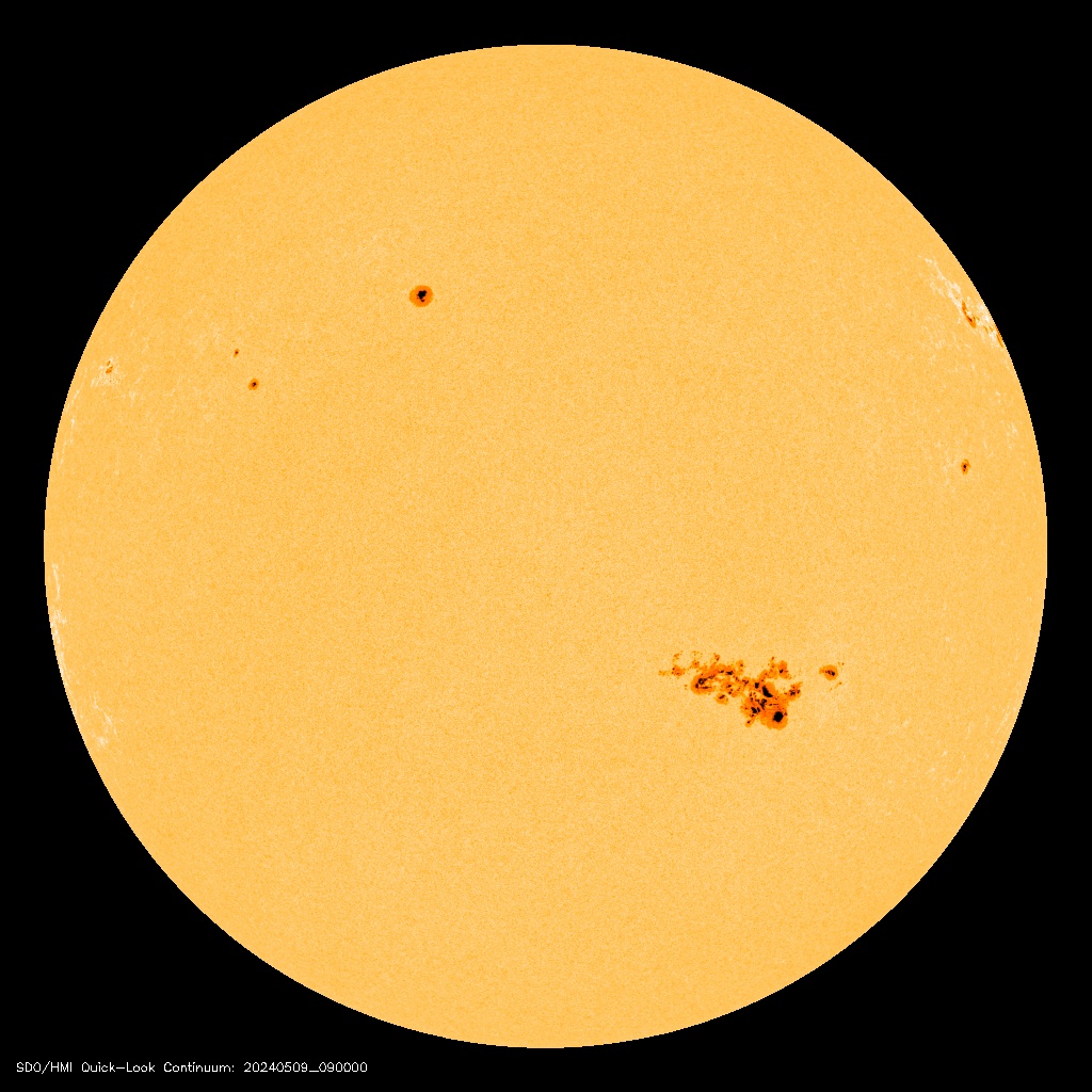
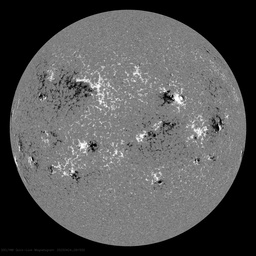
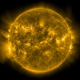
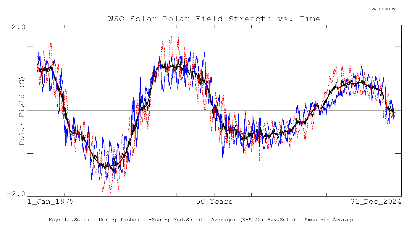
Science is discovering that a quiet Sun with its sustained low levels of UV output changes the jet stream position. Once we get past this point we can start to look at the data and gain some insight into the discussion. Some parts of the UV spectrum vary by as much as 100% over the typical 11 year solar cycle. Our current cycle which is near cycle max has experienced sustained low levels of UV not far above cycle minimum values.
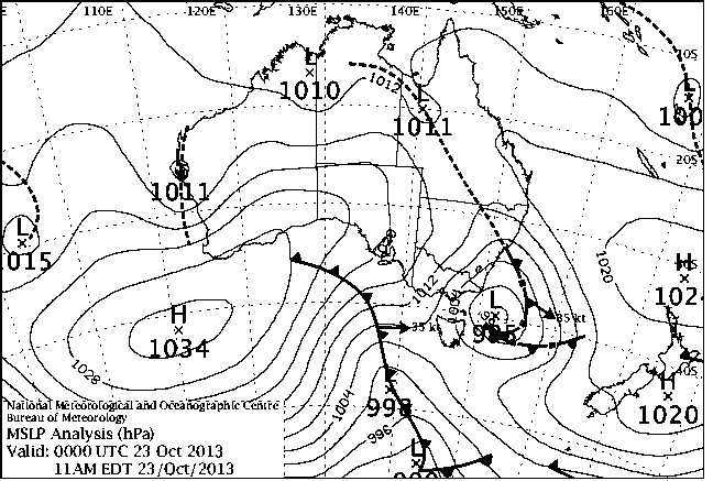
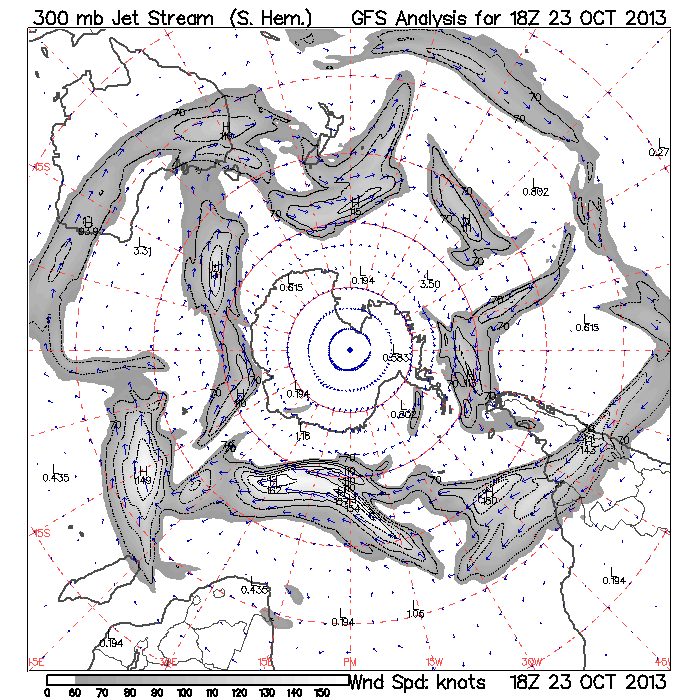
Anyone watching the Australian sea level pressure charts over the past few years would notice the much higher occurrence of low pressure systems, especially over the last 18 months. The low pressure cells normally circulate closer to Antarctica but are now moving closer to the equator making them more obvious on our charts, but we are also getting more low pressure systems. More low pressure systems makes the jet stream more "loopy" which can have a dramatic influence on weather. In the Northern Hemisphere particularly, this allows very cold air from the Arctic to flow south to areas that would normally not experience this phenomenon. In Australia at this time of year the same bend in the jet stream and the associated low pressure cell drags warm air from the interior and this year that air has been heading to NSW.
The following chart taken from 23rd October 2013 is a typical pattern we have been observing over our winter and spring. The low pressure cell with its clockwise cyclonic direction along with the trough (dotted line) drags warm air from the interior, this is a weather pattern caused by the jet stream change and nothing to do with world temperatures. Remember world temperatures have been flat for 15 years and Antarctica has now set a record for the largest and thickest sea ice extent.


If you go to http://squall.sfsu.edu/scripts/shemjet_archloop.html you can quickly build an animation of the jet stream. Comparing September/October animations from 2010 to 2013 shows how the jet stream has been slowly moving north over this period. The movement of the jet stream is a function of the weather system when solar UV is low.

When the data is looked at it becomes obvious that the extreme weather events that are occurring worldwide are a direct result of the changing low pressure cells that influence jet streams. It will take some time for this information to filter through and it will be met by fierce opposition from those pushing an agenda...but eventually the facts make their way to the top.
The current solar grand minimum will have many repercussions, but we will ultimately have a much better understanding of our climate systems.

